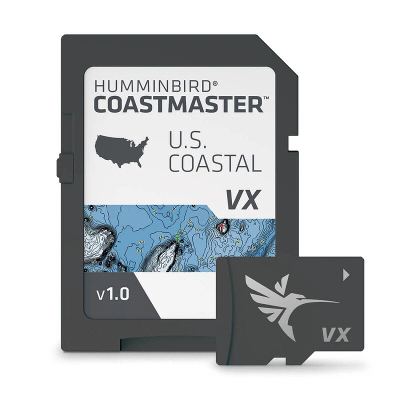
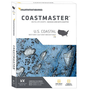
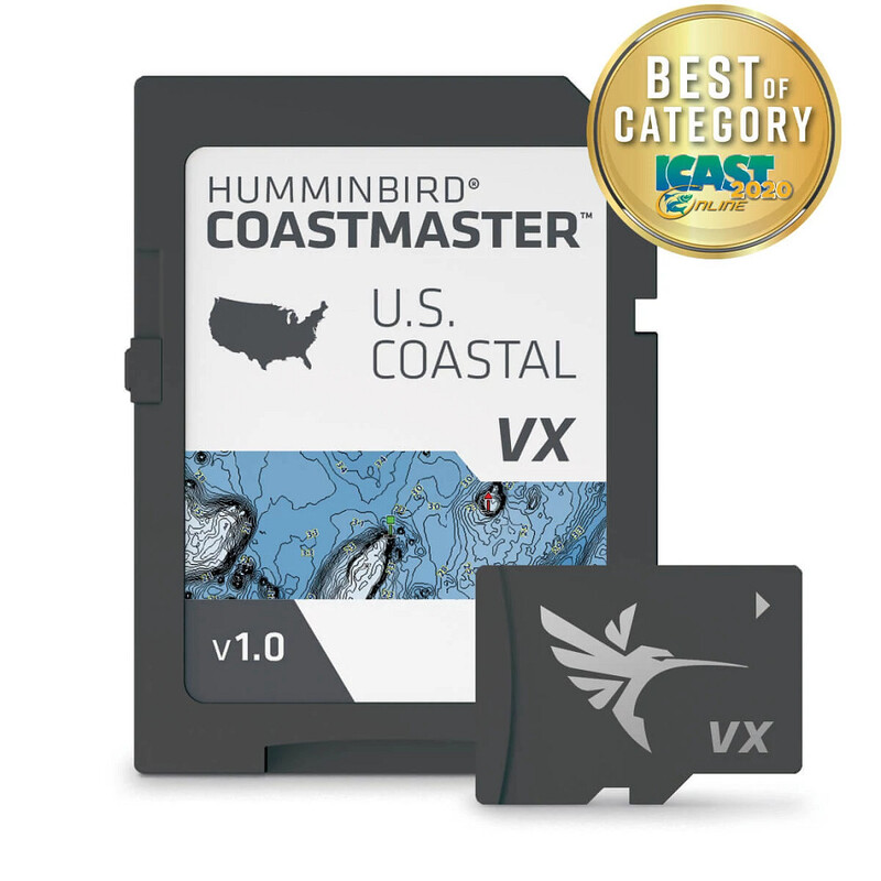
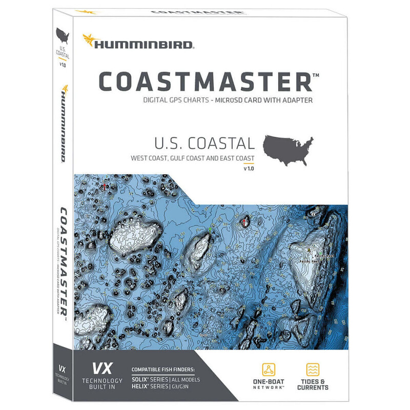
Humminbird CoastMaster U.S. Coastal Waters V1 • 601015-1


Product Details
Find the path to your next big catch with the incredible accuracy and detail of Humminbird ® CoastMaster ®, providing highly accurate chart coverage for all U.S. coastal waters. From easy-to-read contours to highlighted depth ranges, you'll have the tools you need to identify the spots you know will hold fish, and navigate there safely.
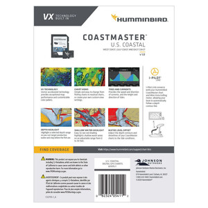
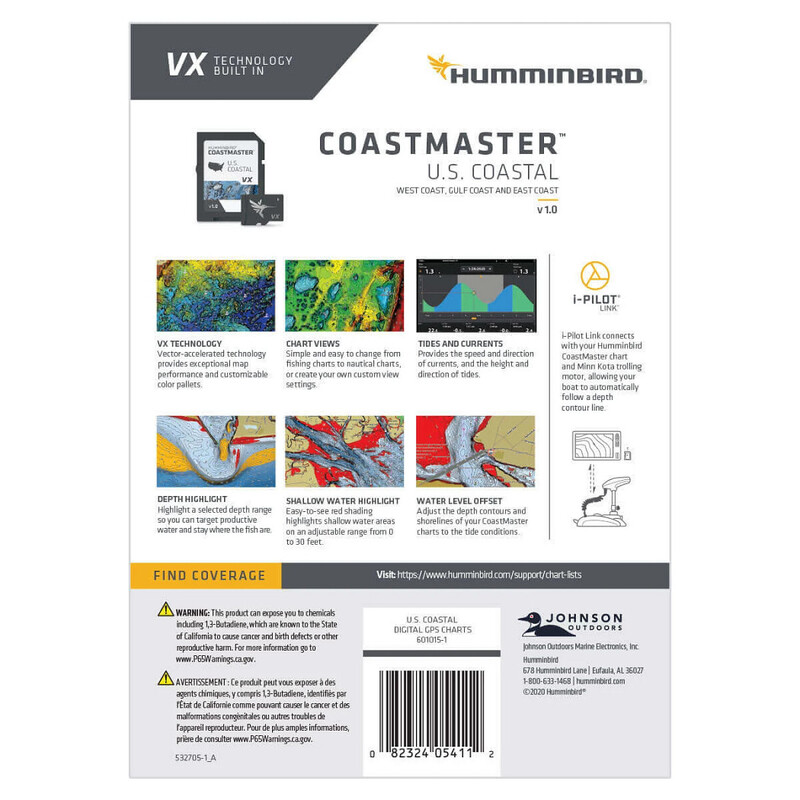
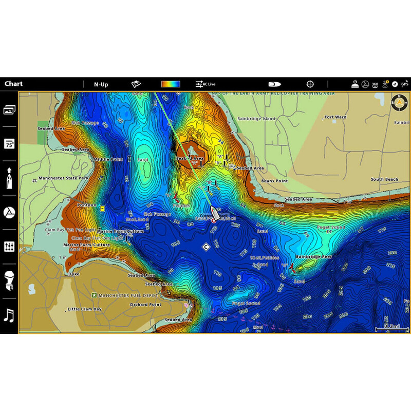
- VX Technology provides five customizable color palettes and faster map load times, so you can seize every moment on the water.
- See the world your way with three preset views. It"™s quick and easy to switch from fishing charts to nautical charts, or to create your own custom view settings.
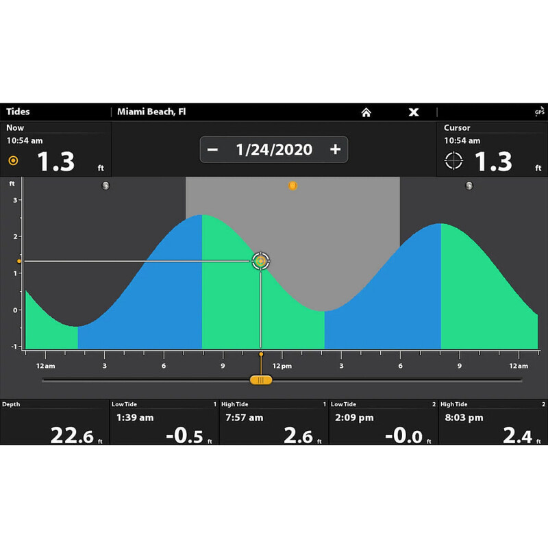
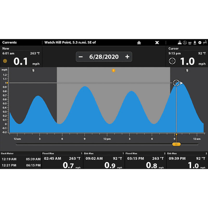
- Using predictive software, CoastMaster allows you to plan your fishing day with tidal direction and height, as well as the speed and direction of currents and more, so you"™ll never be caught guessing.
- Create up to four user-defined depth highlight ranges, so you can easily target productive water and stay in the bite zone.
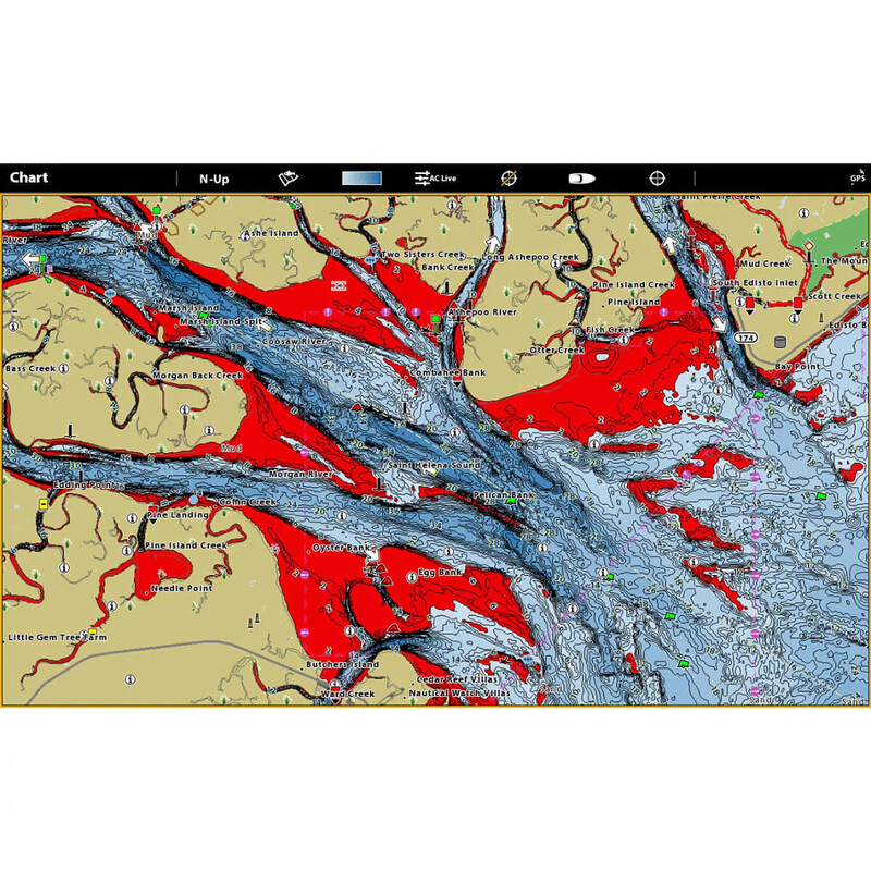
- Navigate safely and quickly identify spots where fish are hiding with red shading highlights for shallow water areas on an adjustable range from zero to 30 feet.
- Synchronize the depth contours and shorelines of your CoastMaster charts with the actual water levels, so that your chart will reflect the current water level of your fishing spots.
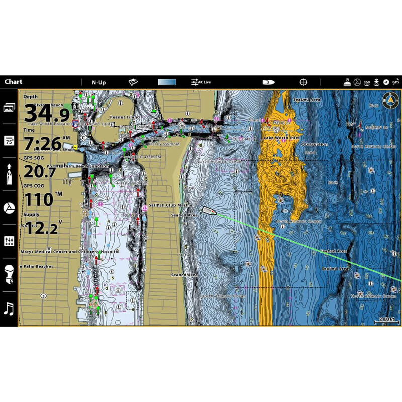
- Access a wealth of navigational data to make your next trip safe and successful. Access navigation aids, artificial reefs and points of interest.
- When paired with a Minn Kota i-Pilot Link, you can "follow" a selected depth contour line, delivering precise, automatic boat control
- Compatible with Humminbird HELIX® G3/G3N and newer, all SOLIX® units and all APEX™ units
- 1-Year Cartography Warranty. Opened packages are not eligible for return.
$149.99
in stock
Quantity
