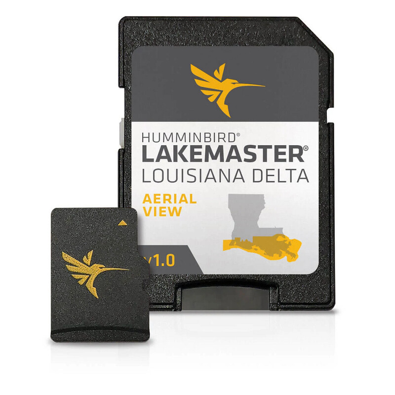
Humminbird LakeMaster Louisiana Delta Aerial View V1 • 600050-1

Product Details
Humminbird LakeMaster now offers high resolution aerial photography of the Louisiana Delta on one micro card (with SD adaptor).
Compatibility
- View all the hidden features of the Louisiana Delta with real life aerial views of shorelines, waterways, landmarks, obstructions, roads, marinas, canals, and channels
- Also includes nav aids, lake names, points of interest and more
- Can overlay on top of other navigation charts such as Humminbird Basemap on applicable GPS-equipped Humminbird fish finders
- Opened packages are not eligible for return
- 30-Day Cartography Warranty
Compatibility
- Current Models: HELIX 10, SOLIX 10, SOLIX 12, HELIX 9, APEX 16, HELIX 8, HELIX 15, HELIX 7, APEX 13, HELIX 12, ICE HELIX, SOLIX 15, HELIX 5, APEX 19
- Discontinued Series: 800 Series, ION, 600 Series, 700 Series, 1100 Series, 500 Series, ONIX, 900 Series
$149.99
in stock
Quantity
