Navionics Platinum+ US East • 010-C1370-40

Product Details
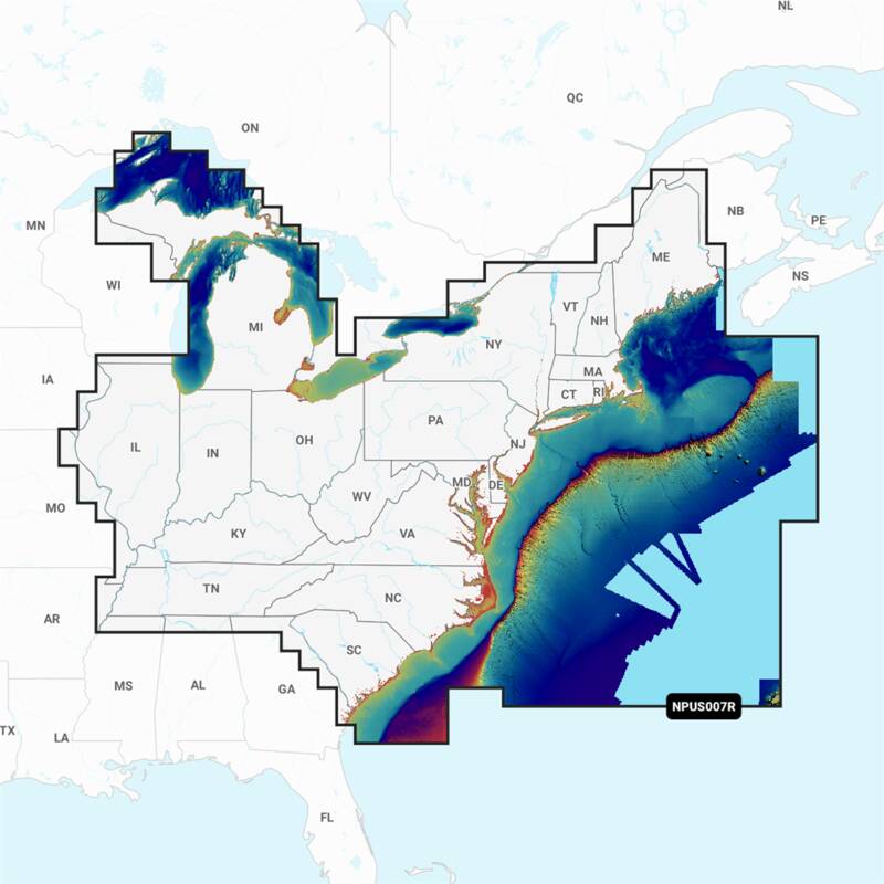
Detailed coverage of the lakes, rivers and coasts of Connecticut, Delaware, Illinois, Indiana, Kentucky, Maine, Maryland, Massachusetts, Michigan, New Hampshire, New Jersey, New York, North Carolina, Ohio, Pennsylvania, Rhode Island, South Carolina, Tennessee, Vermont, Virginia and West Virginia. Head out with confidence! All the same marine and lakes content and advanced features found in Navionics+ are augmented with 3D View, satellite overlay and panoramic photos to provide the ultimate situational awareness. Designed with the most demanding boaters and serious anglers in mind, these additional viewing options can be used on a growing number of GPS plotters. Daily updates and advanced features are included for one year.
- Nautical Chart: Comprehensive Charts Are Derived From Multiple Official, Government And Private Sources, Displayed In A Familiar Look And Feel
- Community Edits: Get Useful Local Knowledge From Edits Made By Users Of The Navionics Boating App On Your Compatible Smart Device
- Dock-To-Dock Route Guidance: Start Your Trip With A Suggested Path
- SonarChart Live Mapping Feature:
- Watch New HD Depth Maps Develop In Real Time As Your Boat Moves Through The Water
- 3D View: Adjust The Perspective Of Your Chart View To Highlight Key Features And Enhance Awareness
- Aerial Photos: Get A Better Sense Of Your Surroundings
- Opened packages will not be eligible for credit return
- Not compatible with Garmin devices
- The most advanced technology and best imaging available in multi-dimensional charts
- Improved 3D view with enchanced bottom contour profiles and high-resolution photo overlay
- Contiguous satellite photo overlay
- Brilliant panoramic pictures
- Enchanced port services
- Channel and wharf descriptions, anchorages and bridge clearances, all geo-referenced to your current position
- Access tidal heights, flow speed and direction, for today's fishing trip or next week's cruise the coast
$233.99
11 in stock
Quantity
