Navionics+ U.S. & Coastal Canada • 010-C1366-30
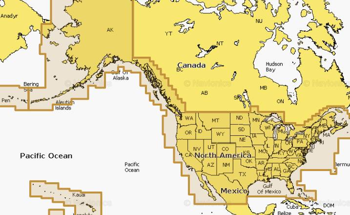

Detailed coverage of the entire U.S. coasts, lakes, rivers and inland waterways, plus Alaska and Hawaii. Canada coverage of coastal British Columbia, the Great Lakes, the St. Lawrence Seaway, New Brunswick and Nova Scotia. Coverage includes Bermuda, the Bahamas, Baja California, the Gulf of California, Johnston Atoll and Palmyra Atoll/Kingman Reef. Get both saltwater and freshwater charts throughout the entire region. Nautical Chart is preloaded. SonarChart™ 1' HD bathymetry maps and Community Edits can be downloaded along with daily updates for one year! Simply plug your card into your PC/Mac to get the most updated charts.
Opened packages will not be eligible for credit return
Not compatible with Garmin devices
Coastal Content
Inland Content: 44,000+ Lakes
Detailed Nautical Charts
Daily Updates
Dock-to-dock Route Guidance
Plotter Sync
Community Edits
Advanced Map Options
SonarChartTM Live Mapping
